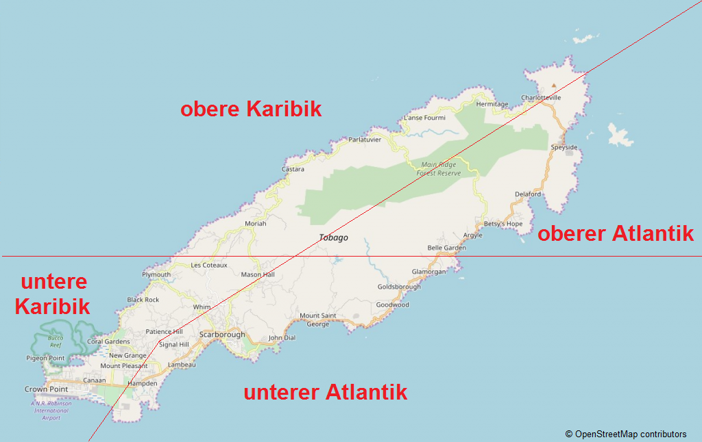
 Upper Atlantic
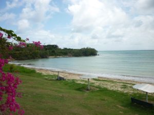
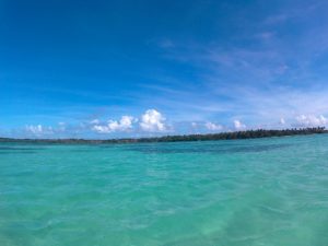
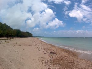
The Atlantic coast stretches from Starwood to Scarborough. It is clearly rougher and shows a completely different face than the Caribbean coast only a few kilometres away. Due to strong waves and currents, this area is often unsuitable for swimming or snorkeling.
Starwood Bay
This beautiful beach, about 200 meters long, can be reached via the path at the Blue Waters Inn. Due to the Atlantic influence, most of the sand unfortunately disappears into the sea at high tide. Due to the current conditions and the often rough sea more suitable for a short sunbath than for swimming.
Belmont Bay
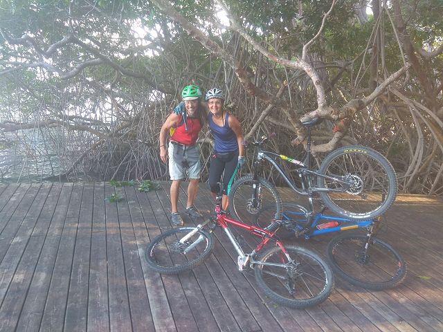
This beach is not easily accessible. By off-road car, mountain bike or boat you reach this lonely and very beautiful section, which used to be known as Anse Brisant.
Batteaux Bay
This approx. 250 meter long beach is located directly at the Blue Waters Inn Hotel. With its horseshoe shape, the bay embodies the typical dream beach. Please ask politely at the reception if admission is granted.
Tyrrell’s Bay / Speyside
This approx. 1.5 km long and quite narrow beach is located directly in front of Speyside. Due to the rough sea this area is more suitable as a starting point for snorkeling and diving tours than for swimming.
The Bishop´s Bay is a small part included in the section.
Lusyvale Bay
This very small beach can only be reached by sea; there is no road or footpath.
King’s Bay
This beach is about 300 meters long and wonderful for swimming. The water is quite calm and warm for the situation at the Atlantic, the sand is rather dark. A good infrastructure (showers, lifeguards/supervision) as well as the lively activity of the fishermen and an attractive fish trade make the place to a very nice excursion destination.
The King´s Bay waterfall can be reached on foot from here. Please note that this usually only carries water after rainfall.
Queen’s Bay
From the village Louis d´Or one reaches this quite small sandy beach
Prince’s Bay
This small beach consists of quite coarse dark sand and is located a little south of Royborough.
Carapuse Bay
A long and large beach south of Roxborough.
Richmond Bay
A nice beach at the mouth of a river with a beautiful view of Richmond Island. The bay is divided into Mangrove / Clarke’s Bay and Bellevue Bay. The latter is quite by Atlantic standards and can be reached via a small road off the Belle Garden Bay Road.
Goldsborough Bay
Between Roxborough and Scarborough there are many beaches with dark sand of volcanic origin. This also applies to Goldsborough Bay before and after the village of Pembroke. The beach is good for swimming, but offers no shade or facilities for changing or catering. It can be reached by turning towards the sea at the crossroads at the foot of the mountain.
Pinfold Bay
This beach is located near the ruins of Fort Granby and is therefore also known as Fort Granby Beach. A sign from Windward Road points the way past a cement factory and garbage dump. The beach is beautiful, but not suitable for swimming. Nevertheless a visit is worthwhile for a walk and some refreshments.
Barbados Bay
The former island capital Georgetown was founded around 1700 in this area – also known as Studley Park – and is located at the tip of Barbados Bay.
Hope Bay (Hillsborough Bay)
In this bay there is a nice picture when the waves break and change into soft water. The beach is very long and covered with volcanic black sand. Due to the strong current this area is not suitable for swimming, but for a nice walk.
Minister Bay
This section extends about 800 meters crescent-shaped from Minister Point to Bacolet Point and also invites to a walk.

